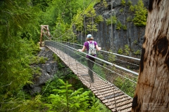
In general, things are sorted with the newest items near the tops of albums and galleries.
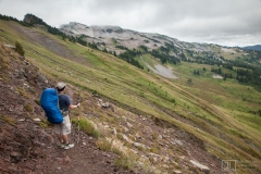
The Goat Rocks Wilderness is an amazing island of rugged alpine peaks in south central Washington State, about 3hrs drive from either Seattle or Portland. There are a bunch of forest roads in the area. Get a guide book, or check with the ranger station in Packwood for detailed directions.
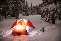
Sand Lake is a few miles north of White Pass, along the Pacific Crest Trail. The trailhead is about 1/2 mile east of the Kraker Barrel store at the pass. The shelter may a little hard to find if you haven't been there before. It's behind some trees and not immediately visible from the trail.
You'll need a NW forest pass to park at the PCT trailhead during the summer. In the winter, be careful not to park in a no-parking zone. If you drive a little bit east from the trailhead, you'll find a place to park. Or, you can park at the ski area. In the summer, the shelter may be infested with mice. In the winter, you may have to dig through the snowpack to get inside. The shelter will sleep about 5 comfortably, or 8 packed like sardines.
You'll need a NW forest pass to park at the PCT trailhead during the summer. In the winter, be careful not to park in a no-parking zone. If you drive a little bit east from the trailhead, you'll find a place to park. Or, you can park at the ski area. In the summer, the shelter may be infested with mice. In the winter, you may have to dig through the snowpack to get inside. The shelter will sleep about 5 comfortably, or 8 packed like sardines.
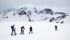
Mount Rainier rises 14,411ft above sea level, about 80 miles SE of Seattle in the southern Washington Cascades. The mountain is enclosed in Mount Rainer National Park
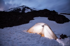
Mt. Adams is in south central Washington State. The south climb route starts just north of the town of Trout Lake, WA. There are other access points to the mountain from the west and north... the east side of the mountain is in the Yakima Indian reservation - you'll need their permission to visit that area.
Stop by the ranger station in Trout Lake for the full scoop on climbing regulations, permits & advice. The notorious dirt road to the south climb trailhead was re-graded in 2002, but it'll probably only stay "nice" for a couple years.
Stop by the ranger station in Trout Lake for the full scoop on climbing regulations, permits & advice. The notorious dirt road to the south climb trailhead was re-graded in 2002, but it'll probably only stay "nice" for a couple years.
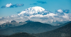
The Indian Heaven Wilderness is located in the Gifford Pinchot National Forest. The most popular access points are along Forest Service road #24, just north of the wilderness. A numer of other trailheads also dot the periphery of the wilderness.
This pleasant hiking/backpacking area is relatively snow-free by early July. However, it is ideal habitat for hordes of mosquitoes. If you wish to keep your sanity, it's generally better to visit later in the summer, when the mosquitoes are gone and the berries are abundant.
This pleasant hiking/backpacking area is relatively snow-free by early July. However, it is ideal habitat for hordes of mosquitoes. If you wish to keep your sanity, it's generally better to visit later in the summer, when the mosquitoes are gone and the berries are abundant.
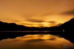
Packwood Lake is a large lake in the northern part of the Goat Rocks of the Washington Cascades. The trail to the lake is only a couple miles of moderate hiking - great for kids.
