| August 2003: A trip to Mt.
LaCrosse & the Anderson Pass area |
| |
|
|
 |
|
On this trip, I hiked the trail along the
Dosewallips River to explore one of the more remote sections of Olympic
National Park. This small cascading waterfall was near the intersection with
the trail to LaCrosse Pass. |
| |
|
|
 |
|
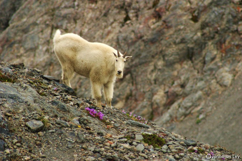
The lush environment, remote locale, and
National Park protection of the Olympic Mountains provide ideal conditions to
support an abundance of wildlife. During this trip, I saw a herd of Elk, a Deer
with two fawns, and this lonesome mountain goat. Black Bears are also a common
sight. |
| |
|
|
 |
|
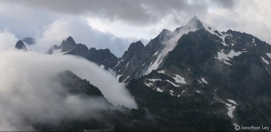
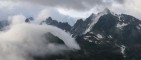
I first headed to LaCrosse Pass, then along
the ridge toward the summit of Mt. LaCrosse. As I paused on a steep slope and
tried to convince myself it was safe to proceed the final 200 feet up the
summit, a thick grey cloud moved-in and obscured all views. It didn't appear
the cloud was going to dissipate, so my decision was made - there was no sense
in proceeding through the soup. Instead, I headed down a broad mountain valley
toward the Anderson Pass area. Mt. Anderson can be seen in the photo here.
Anderson pass is hidden under the clouds to the left side of the
photo. |
| |
|
|
 |
|
This fern was growing on the alpine slopes of
Mt. LaCrosse. I'm not certain which species it is. Perhaps Fragile Fern?
|
| |
|
|
 |
|
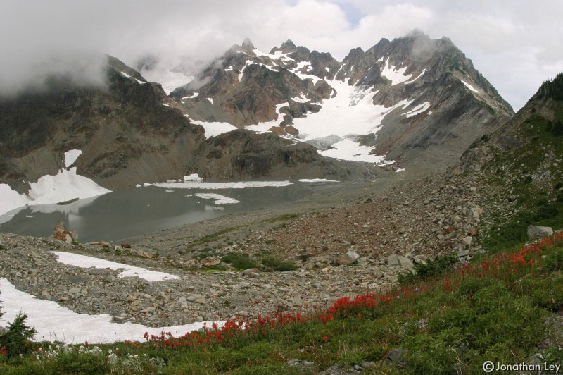
I spent the night camped on the slopes of Mt.
LaCrosse. In the morning I descended to Anderson Pass, then climbed to the edge
of the glacial morraine below the Anderson Glacier and its un-named lake. The
most popular route to the top of Mt. Anderson heads up the Anderson Glacier
then over Flypaper Pass (the low point on the ridge just right of center on
this photo) and up the Eel Glacier on the north side of the
mountain. |
| |
|
|
 |
|
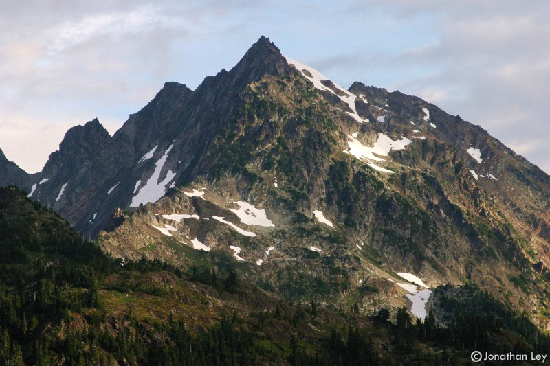
The early morning provided a few moments of
sunlight on Mt. Anderson. Someday, I'll have to go back and climb this
beautiful mountain. It would be more enjoyable with more time and better
weather... and safer with a climbing partner... anyone want to plan a
trip? |
| |
|
|
 |
|
This Cow Parsnip was growing in the Honeymoon
Meadows area. Usually, the flowers of this plant spread flat, not into a sphere
like this one. |
| |
|
|
 |
|
A small pond on the slopes of Mt. LaCrosse
reflects the broken clouds. The sky remained gray nearly the entire trip, but
it only rained briefly. |