| June 2002: A climb of Mt.
Deception |
| |
|
|
 |
|
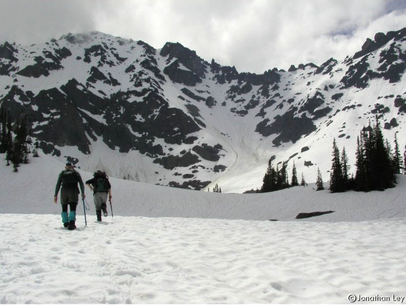
I recently climbed Mt. Deception with Loren
& Joan... The route to the top heads up the slope to the right of this
photo, then to the low point on the ridge. Then, it drops to a snow-field on
the other side of the ridge & up to the top. The summit of Mt. Deception is
just left of center - the highest thing on this photo. |
| |
|
|
 |
|
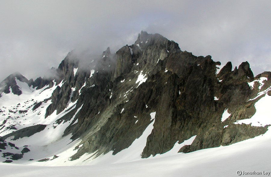
This is a view from near the low point on the
ridge, looking over the snow slope on the other side. The route heads up the
right side of the snow wall seen here. While we were at the top, a piece of the
cornice (the lip of snow on the ridge) broke off and slid down the mountain,
covering our footprints - good timing! (although, it was probably a slow
slide) |
| |
|
|
 |
|
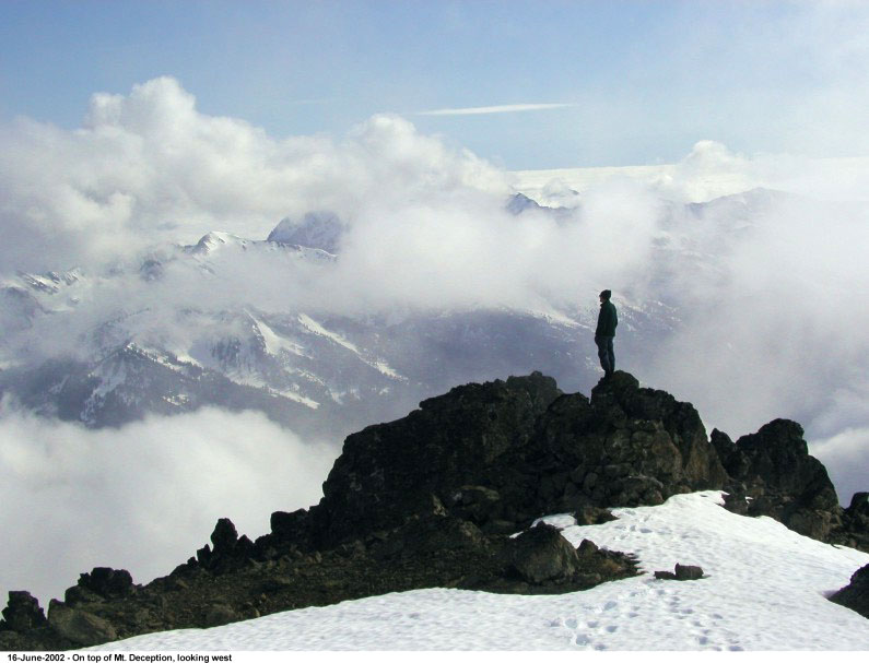
We got to the top just before the clouds
completely covered the view. It was drizzling the next morning when we
packed-up our tents and headed out. |
| |
|
|
 |
|
This photo shows the final route up the
summit ridge, along the snow behind Joan. |
| |
|
|
 |
|
Mt. Deception is in the northeast part of
Olympic National Park. The summit is 7,788ft, one of the higher peaks in the
Olympics, and only 177ft lower than Mt. Olympus. |
| |
|
|
 |
|
There are some steep bits along the
way. |