I was looking for a moderately-difficult overnight backpacking trip to help prepare for a longer trip later this month – a workout, a gear shakeout, and a mental-physical reminder of what it feels like to hike longer distances with a pack. So, I extricated my backpack and assorted gear from a protracted winter storage, and headed into the hottest weekend of the year.
The Badger Creek Wilderness is located a dozen miles east of Mt. Hood, in the eastern foothills of the Oregon Cascades. The old forest here is generally drier and hotter than those to the west. It is also relatively intact – not logged or recently burned.
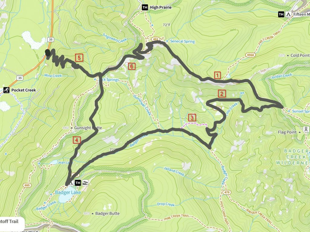
The loop I hiked is shown in the map below. Before I get into the photos and such, I thought it could be useful to make a few trail notes for anyone interested in this route. This information is as-of early July 2024.
I started at the unmarked trailhead along Hwy 35. The trail up through point 5 is well graded and maintained. There are a couple springs near the top as indicated. At point 6, the trail gets less distinct in places, and there are numerous step-over logs and forest detritus. I lost the trail briefly in one overgrown spot, but all said, it’s certainly passable. Around point 1, the map makes it look like you’re walking along an open ridge, but it’s not the case. The open ridge is a series of cliffs and chasms. The trail is routed on the north side of the ridge in the woods, with just a couple side-looks over the cliffs.
Around point 2, from Tolo Creek to Badger Creek, the trail is not well-used, and is poorly-maintained. In addition to dozens of blowdowns of all sorts and sizes (many large logs), sections of the trail are overgrown by a type of woody shrub that is difficult to push through or over. Heading downhill is surely easier than uphill, but expect slow progress either direction. There are places where I had to full-on bushwhack for 50 yards or so, and then hunt for the trail again. The route also does not conform exactly to the USGS-traced location, but you can make it through. The trail shown at point 3 does not exist. I could not find it at either end. So, you have to detour around, adding another mile. The trail near point 4 has a fair amount of deadfall / blowdowns, but nothing too serious.
My mapping software (naturalatlas) indicates this loop is 19.3 miles, but the reality on the ground due to many unmapped twists and turns was more like 23 miles.
OK, with that out of the way, how was the route? and where are all the bird photos!?! Well, just keep scrolling.
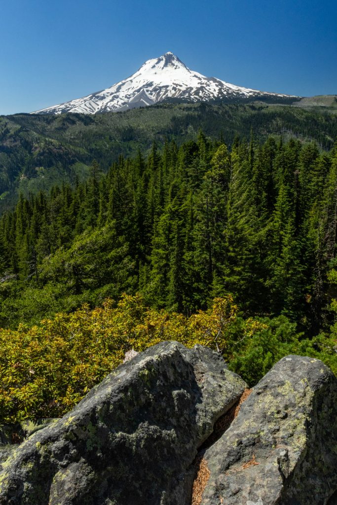
The trail switchbacks leading from Hwy 35 are a well-graded and well-maintained grinder up 2,000 ft of forest. It’s the domain of the hermits – Hermit Warblers sing from the tree-tips, and Hermit Thrushes whistle through the mid-story. There is one spot where you get this view of Mt. Hood dominating the view to the west.
The switchbacks bring you to the top of Gumjuwac Saddle. A sign at the top has this background on the name:
Years ago, a French-Canadian sheep herder whose name was Jack and who always wore gum shoes camped here.
So, I’m led to believe “Gum Shoe Jacques” transmogrified into “Gumjuwac”.
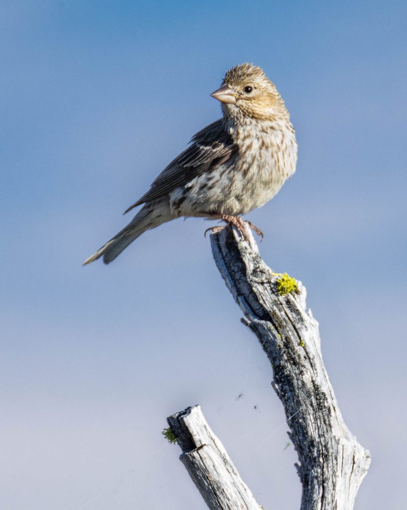
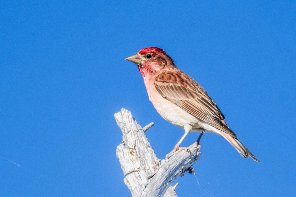
From this point, the trail continued upward along the slopes and ridge another 1000ft to the top of Lookout Mountain – 6500ft. The environment on the summit was a sub-alpine parkland; an ideal habitat for birds like this female Cassin’s Finch.
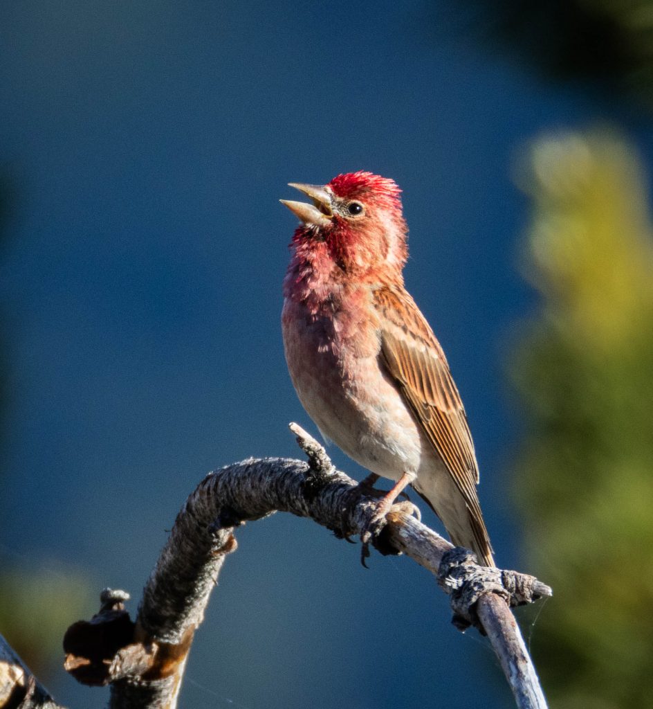
Not far away, multiple male Cassin’s Finches filled the air with songs from branches and treetops.
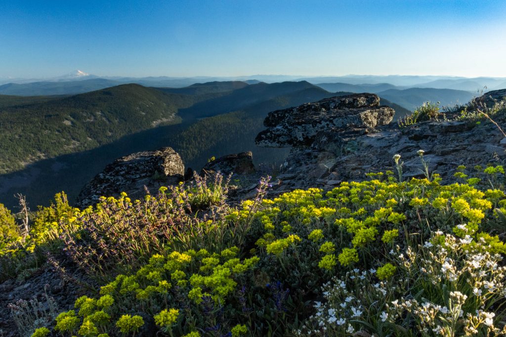
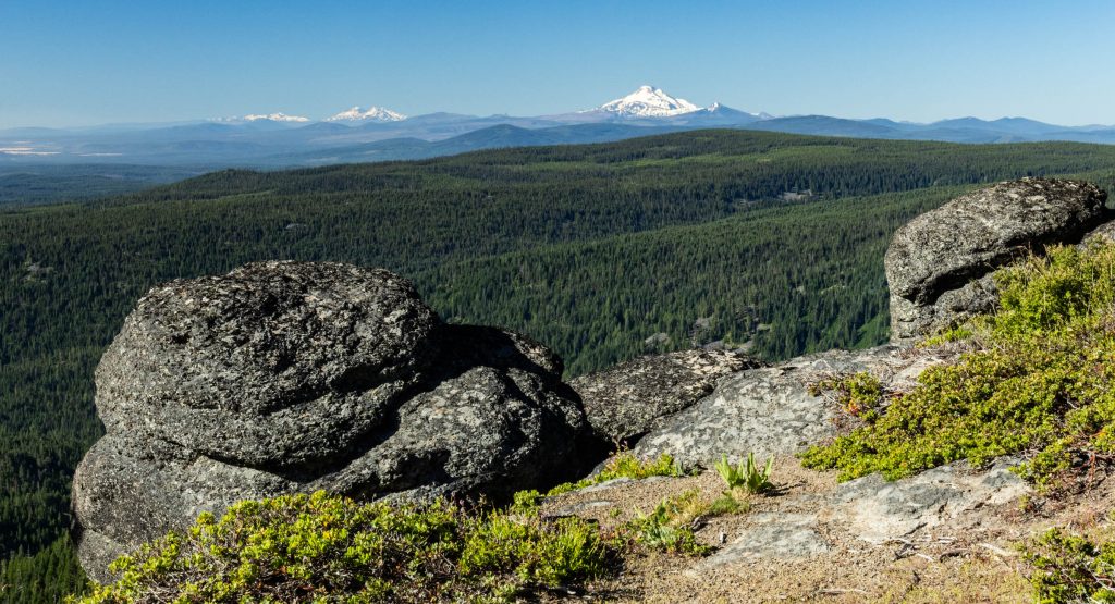
Between the trees and rocks, the summit of the mountain was alive with flowers of many sorts. This is a view toward the south, looking over the Badger Creek basin, with the pointy white peak of Mt. Jefferson in the distance.
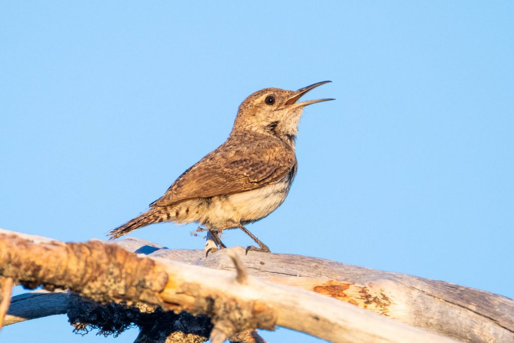
As the sun lowered toward the horizon, a Rock Wren landed on the highest branch of a tree at the very summit of Lookout Mountain, and began an evening serenade.
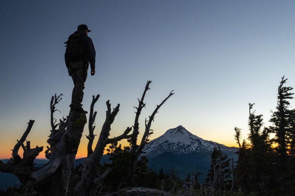
As I was preparing a one-pot gourmet meal of noodles and sauce on the summit, a fellow hiker named Stu arrived, looking for sunset views. The clear skies were more sublime than dramatic.
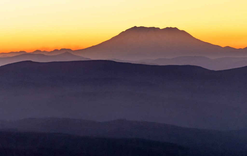
The horizon glowed with every shade of violet and amber. To the north, the silhouette of Mt. St. Helens rose above waves of forested hills.
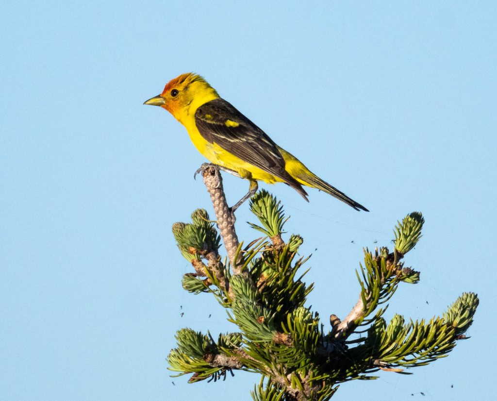
As the sun returned in the morning, so did the birds. A few new visitors added fresh colors to the mix, like this male Western Tanager. You can see a bunch of tiny flies captured in webs covering the treetop here. This netting of bug-webs coated nearly all the plants. While the flies were numerous both in population and variety, only a few of them had a proclivity to bite.
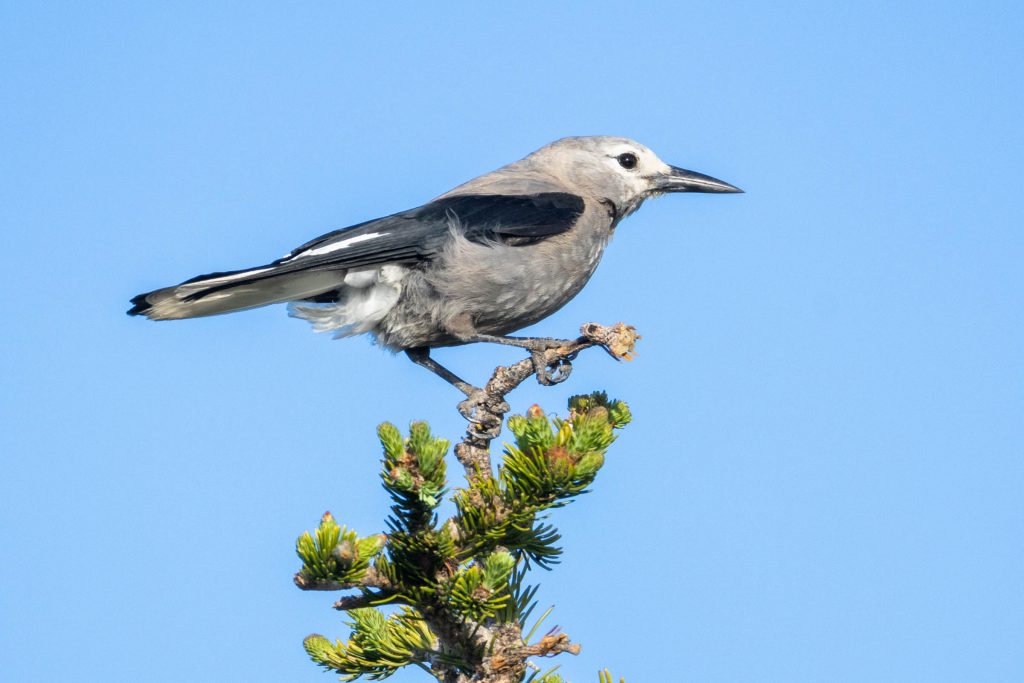
Clark’s Nutcrackers tend to favor environments with Whitebark Pines. There were some of these trees on the top of Lookout Mountain, and perhaps consequently, a few of these curious intelligent birds.
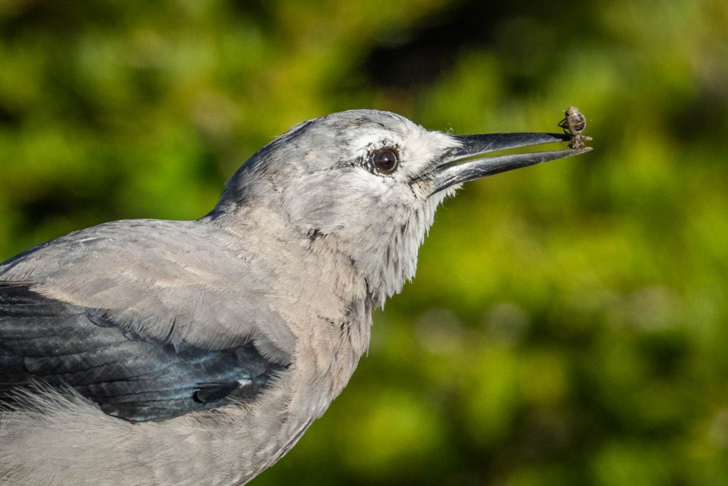
As I was getting ready to leave, one of these birds scoured my former campsite. It didn’t find any human scraps, but it did find a tasty bug. If you’re curious to learn more about Clark’s Nutcrackers and their relationship with Whitebark Pines, check out this podcast from Glacier National Park.
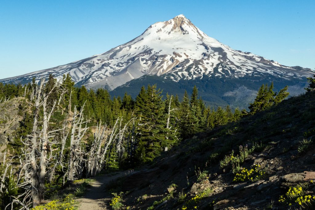
Meanwhile Mt. Hood was lit-up by the morning sun. It was the start of a long, sunny, hot day.
And of course, the Cassin’s Finches returned. Superficially, they look a bit like the far more common House Finch. But, once you see and hear a Cassin’s Finch, especially in an environment like this, it’s clear they’re a very different species.
As I continued around the ridge below Lookout Mountain, I had a clear view to the south. The major peaks seen here are (right to left) Mt. Jefferson, the Three Sisters, and Diamond Peak.
Then, the trail dipped into the forest for a long way through fallen, broken trees and overgrown trailside bushes. Many sections of this trail system are long overdue for trail maintenance. Due to a confluence of factors over the past 20 years, the backlog of work has piled-up. Based on my experience, a couple week-long work parties with crosscut teams could clear of the worst of it, and make this a much more enjoyable hike. Until that happens, just be warned this route is not what most people would call fun (especially on a very hot day). But it is challenging and rewarding all the same.
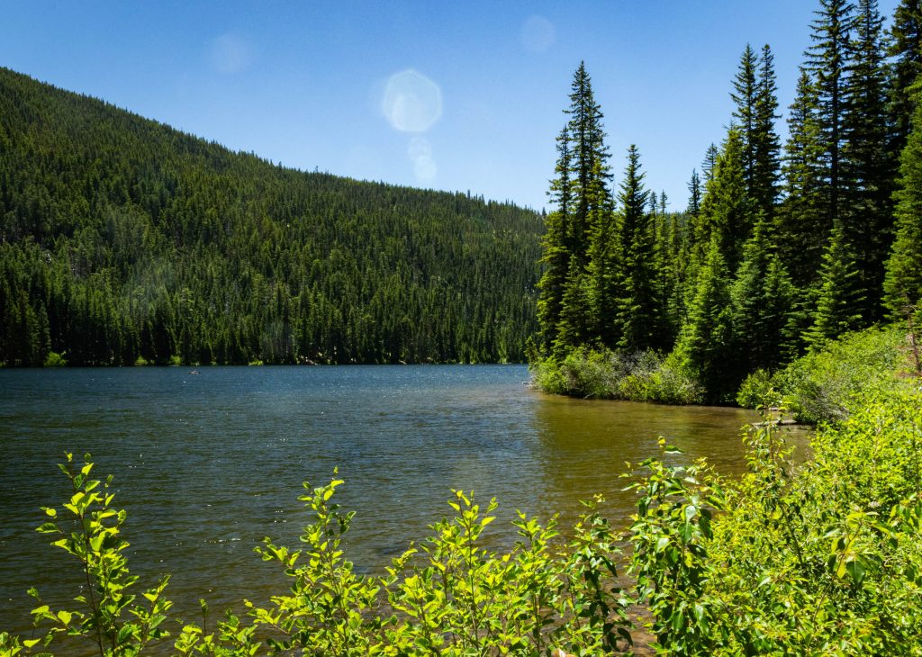
Eventually, I reached Badger Lake, a brief change of view in the otherwise endless forest.
From there, it was back up and over Gumjuwac Saddle, then back down to my starting point. It was a long day, which felt even longer due to a combination of the heat and trail conditions. But, I suppose that which doesn’t kill us makes us sore and tired, so that’s how I’m feeling as I write this the following day. On to the next adventure!