The dramatic heights of Wyoming’s Wind River Mountains aren’t a secret among backpackers. During long conversations on a trail with one’s fellow travelers this question often arises: “What are your favorite places to go backpacking?” Anyone who’s been there will include “the Wind River Range” in their reply. But most people outside those circles know little or nothing about this place.
“The Winds”, form a jagged spine across the left side of Wyoming’s most remote regions. It takes a long drive over dirt roads just to get to the trailheads, and even then you can’t really see what the fuss is about. Getting to the inner sanctum of these mountains takes a full day’s hike for most people. Once there, you can just keep exploring – days and days of cliffs, spires, forests, lakes, rivers and all that comes with it.
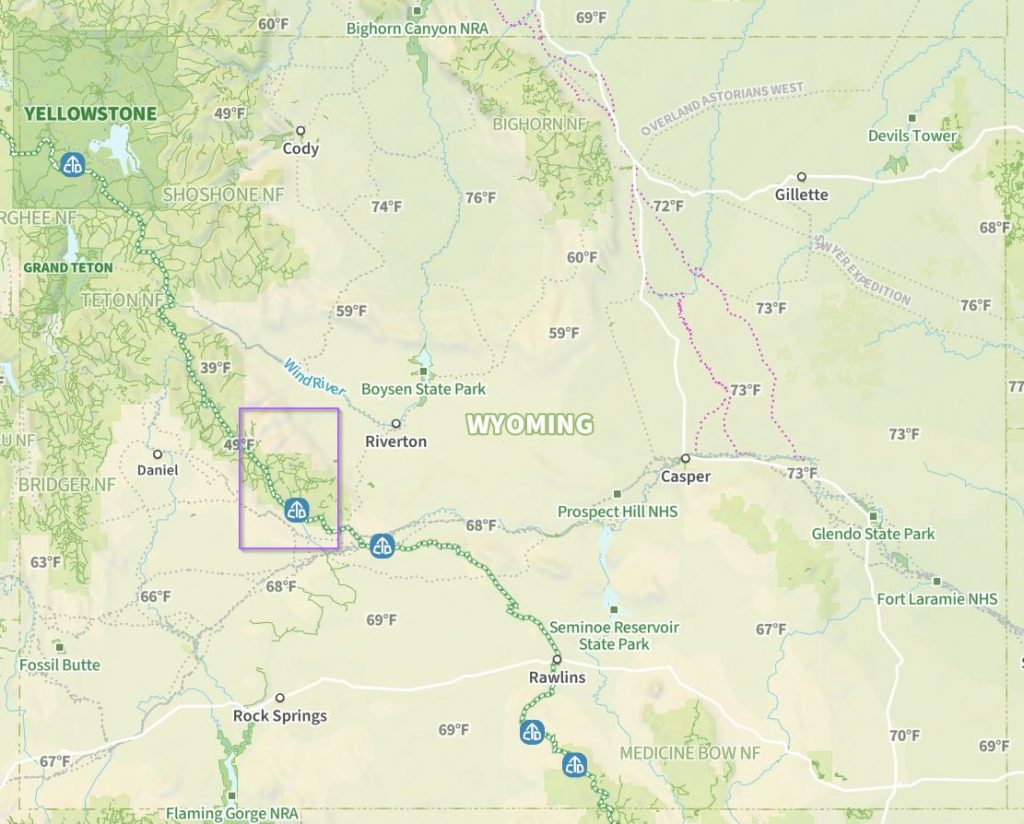
Loren, Joan and I made plans as a group of three. The map below shows our route through the heart of the southern Wind River Range. We started at the south end, near the Christina Pass Trailhead, heading up Sweetwater Gap and then counter-clockwise back to our start – about 66 miles.
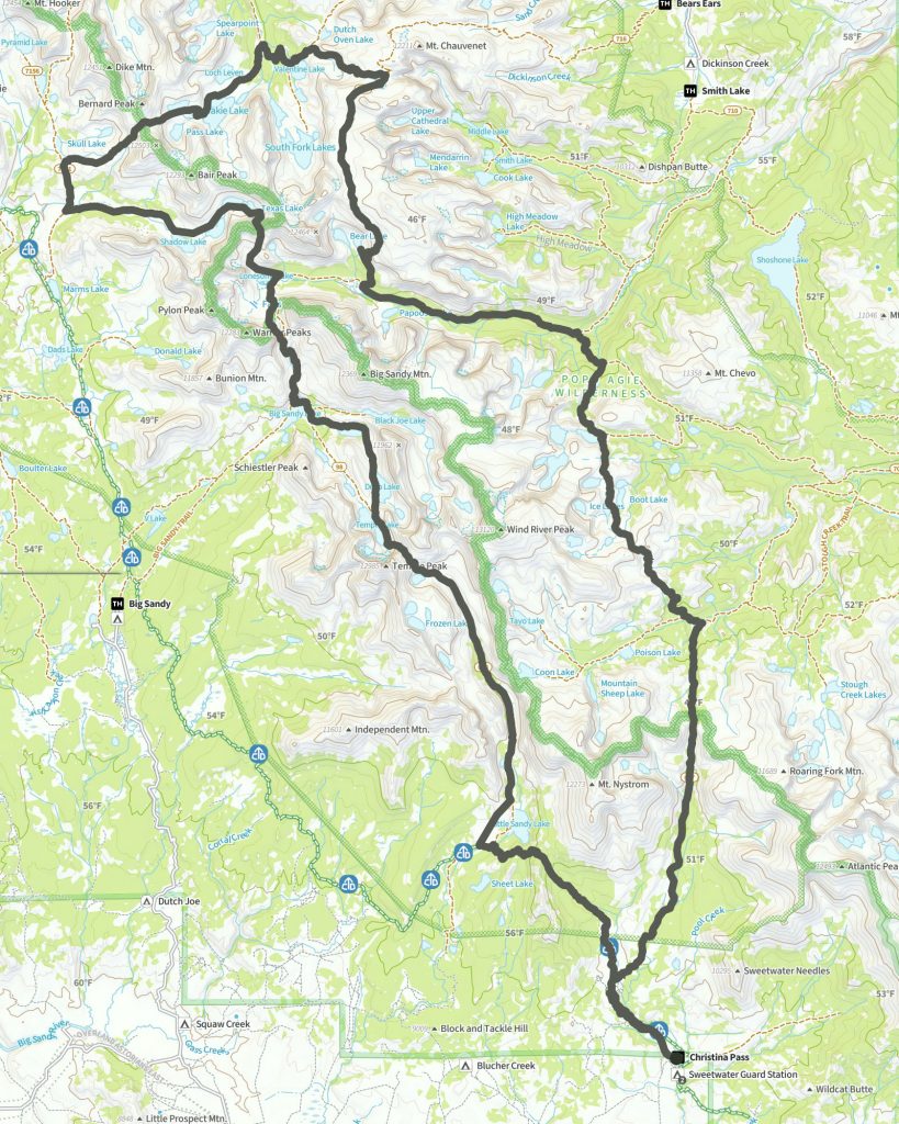
If we’d been in peak physical condition, this route would be a 4 day hike. But we set a more moderate pace of 7 days, which gave us a both time to acclimate and the luxury to simply stop and appreciate where we were.
While our daily mileage was moderate, the terrain was not. The way forward was rarely flat. Here is the elevation profile of the full route.

By the way, the above map and elevation profile are snips from naturalatlas.com – I’ve been using their app/subscription for a while and generally recommend them – some of the story in part 2 notwithstanding. I’m not sponsored by them, but I hope my kudos will make them cool with me sharing the above imagery. One of the main reasons I like their maps is that they simply look great.
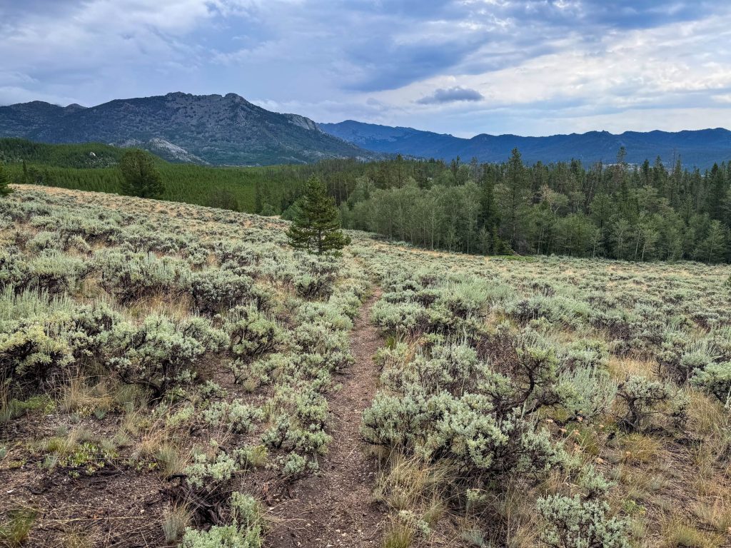
The scene that greeted us near the trailhead only hinted at the landscape beyond. We started in a dry, high sagebrush desert. But we quickly gained elevation and rose above it and into the forest.
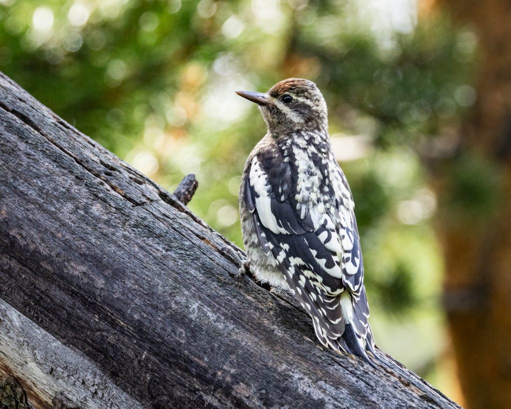
Every great hike starts with a great bird. And so it went in the Winds – Just as we reached the first junction with the Sweetwater Gap Trail, a group of juvenile Red-naped Sapsuckers appeared in the surrounding trees.
We started the trail with heavy packs and a lot of uphill in front of us. The Sweetwater Gap trail proved to be a well-maintained, comfortably-graded path through old coniferous woodlands. We ultimately arrived at a long alpine meadow just over 10,000ft elevation.
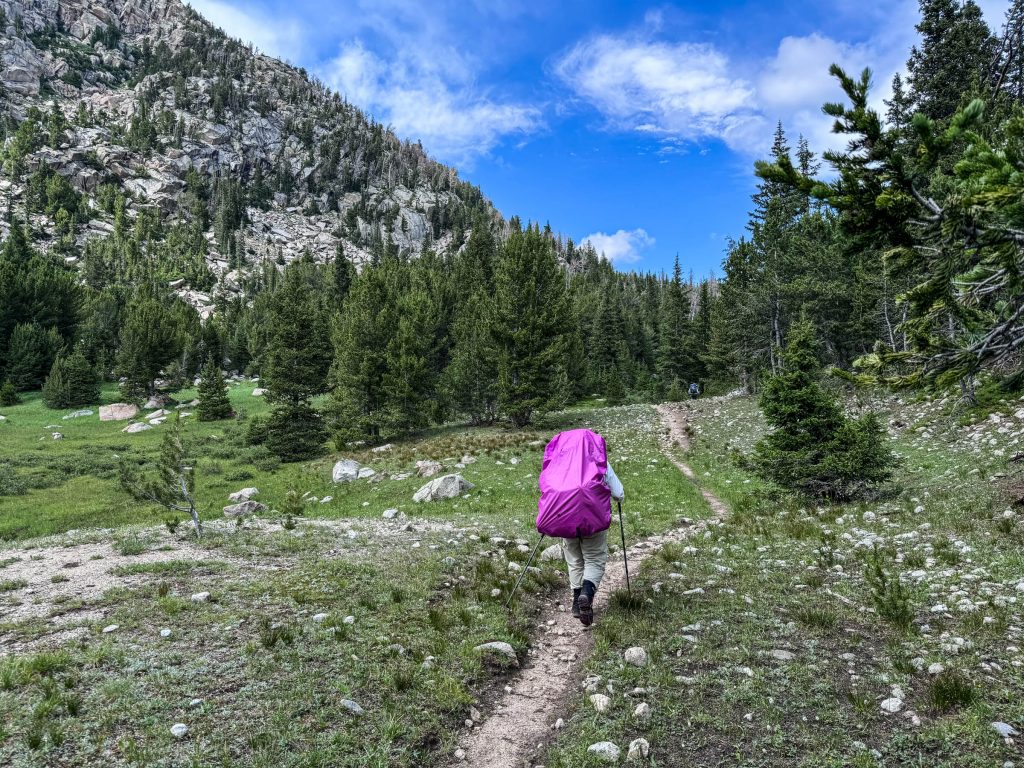
We rested briefly, and decided to check-out a nearby un-named lake a half-mile off-trail. This bushwhack wasn’t too difficult to follow, even for 3 tired lowlanders.
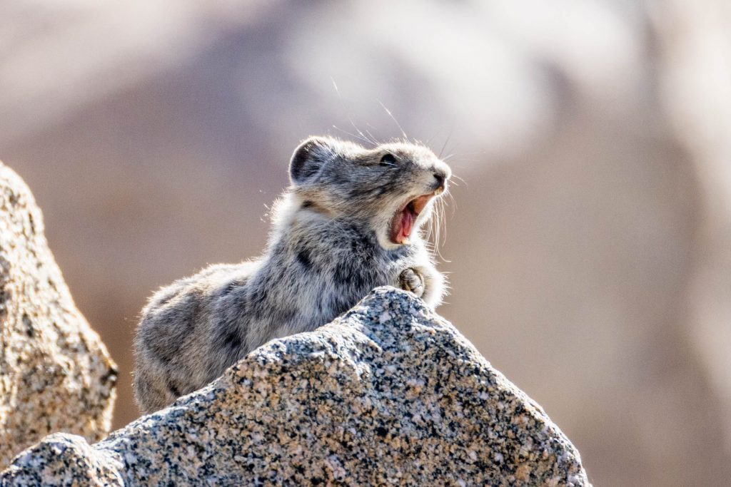
We were greeted by a sleepy Pika, yawning to make our acquaintance.
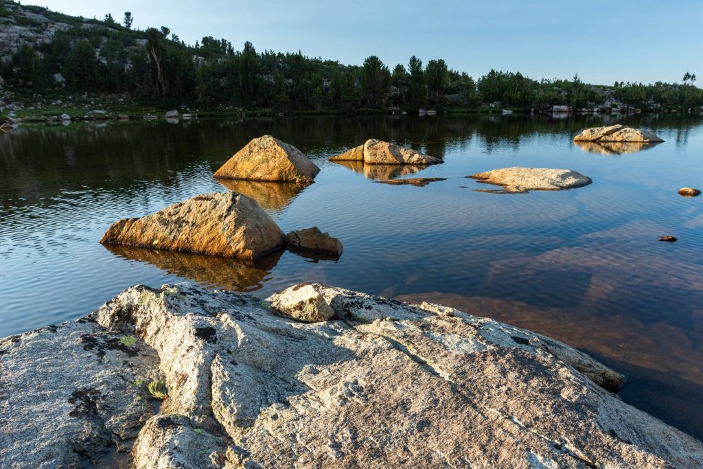
The unnamed lake was framed by a mix of granite boulders, alpine meadows and miniature forests. It was clear that few people bothered to visit it. Had it been weeks? months? years? since the last humans walked these steps?
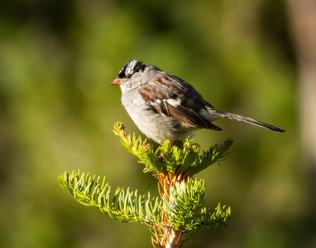
A multitude of White-crowned Sparrows were ‘cheeping’ in the short alpine trees around the lake. These birds are common throughout much of the United States. I hear them singing in parking lots at home. They felt a bit out of place here. But who am I to say? If I were a White-crowned Sparrow, I’m not sure I could find a better place to live.
We found a secluded flat area to set-up our tents, and the scene drifted into darkness. A breezy wind soon turned up a notch, then another. A spatter of droplets fell faster and harder, ultimately reaching a crescendo as sheets of rain slammed into the thin nylon walls of our tents, while the wind tugged and the clouds shook with thunder. It was a classic evening thunderstorm, passing into memory after about an hour. The mountains were saying “hello”.
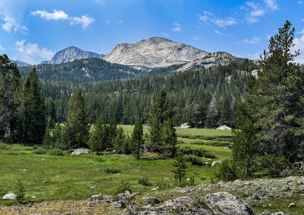
The next morning, we headed deeper into The Winds, which meant going back down briefly, then up… then down and up some more. We were starting to get a feel for these mountains. This view is back toward Mt. Nystrom in the distance, with an unnamed bald dome in the foreground.
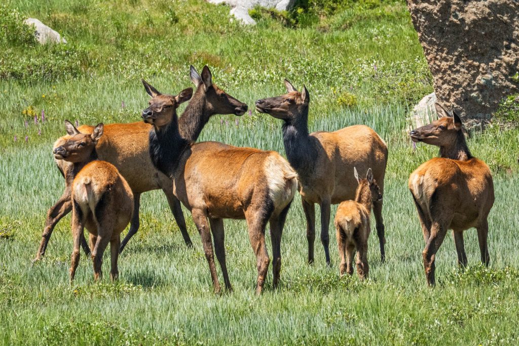
Just after I climbed one minor pass and rounded a corner, I encountered a passing herd of elk. They were as stunned to see me as I was them. I only had a moment to snap a quick shot before they thundered through the wet meadow to greener pastures beyond.
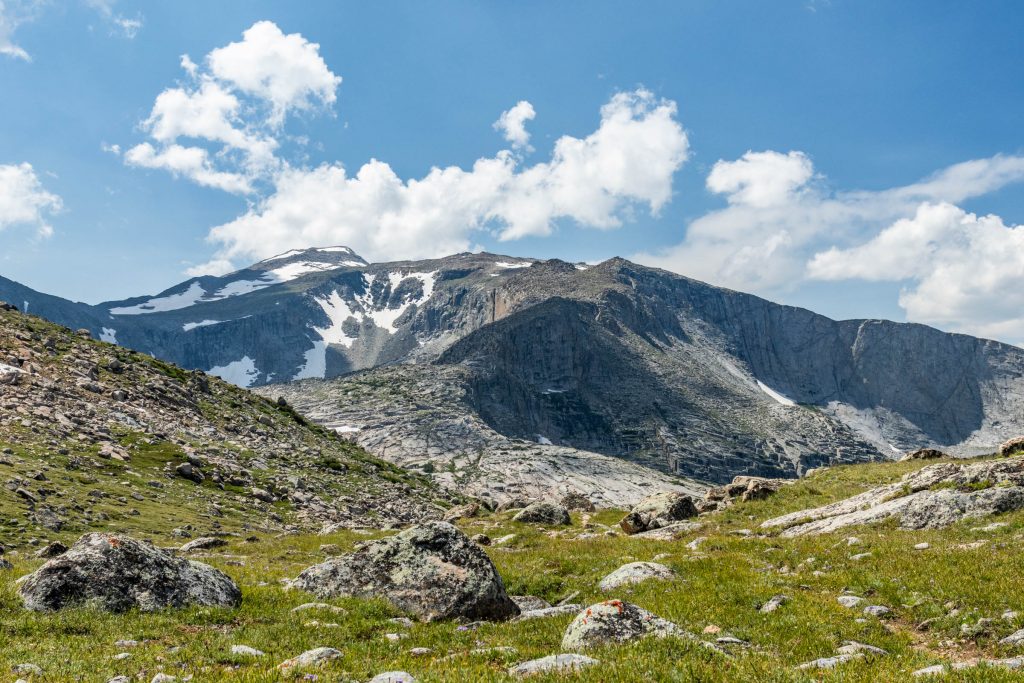
As we crested near to 11,000 ft, we had a good look at Wind River Peak. We had earlier pondered a climb of this 13,197ft mountain, but we still hadn’t acclimated, and were happy to simply take a break. In addition, the ever-present wind promised to make such a venture unpleasant at the least. Clouds swept over us so quickly it was like a time-lapse animation come to life.
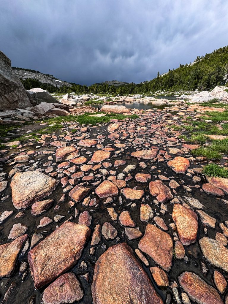
Further along the trail, the sunlit rocks contrasted with darkening skies. We thought we’d see another thunderstorm, but it didn’t quite materialize.
We spent a breezy but uneventful night at Deep Creek Lakes, in the shelter of windswept and contorted Whitebark Pines. We didn’t see another hiker the entire day – just the 3 of us and the mountains.
The next morning, we crossed more lakes in this group and were rewarded with views like this one toward Big Sandy Mountain.
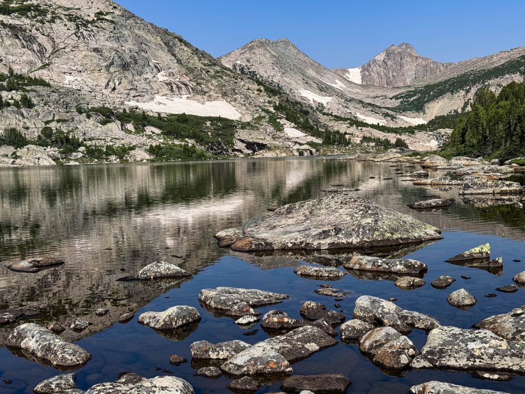
Then the trail took us down, thousands of feet down over a few miles across. We passed countless alpine trickles that gathered into a germ of a river – The North Fork Popo Agie.
Now, a quick word about name Popo Agie… It was the name of the river, and the Wilderness area we were currently in. As you might guess, the proper pronunciation is nothing like the letters suggest. It’s Puh-POO-zha. If you visit this part of Wyoming, practice this. The locals use it as a way to identify outsiders.
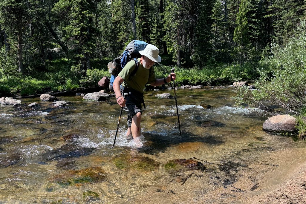
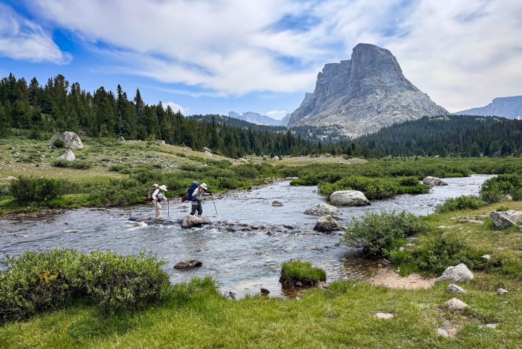
This Wilderness is extremely remote, making it impractical to build bridges. So, the crossing of every major stream involved a wet ford. But these were all tame crossings – especially this time of year. If anything they were a good opportunity to cool and clean one’s feet.
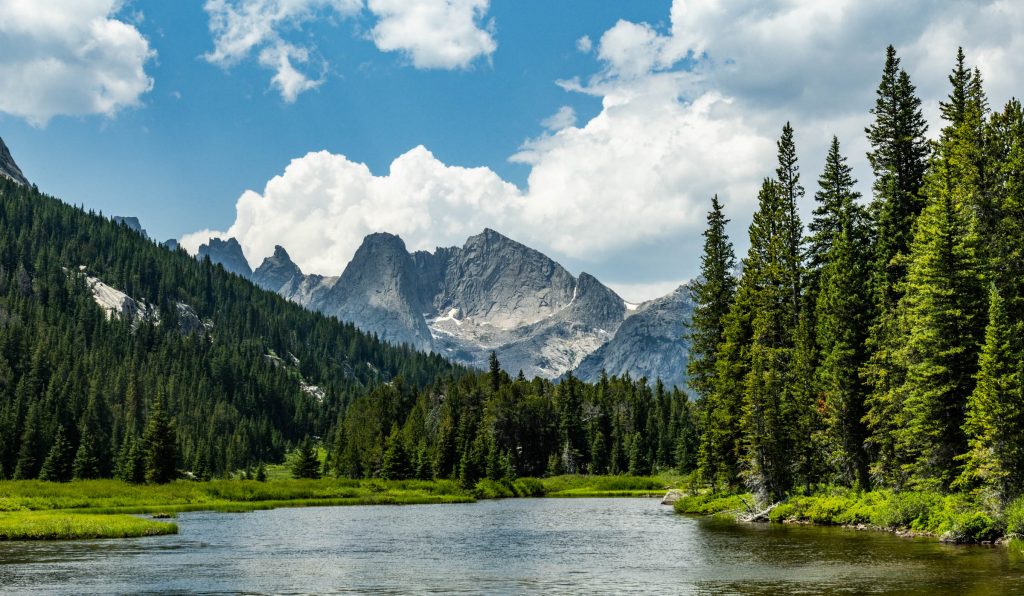
As we continued upstream, the river widened into a meandering meadow, and we had views to the mountains beyond. This was our first glimpse toward the Cirque of the Towers, a set of particularly craggy cliffs at the heart of the range. We’d loop back through that area in a few days. Meanwhile, our path ahead was to the Lizard Head.
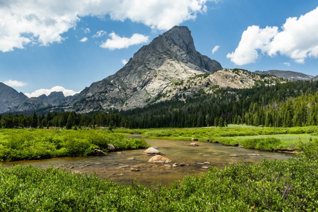
The Lizard Head? That was the name of the peak dominating our view, and the name of the trail we were to take next. Apparently, from some angle this peak looks like the head of a lizard, perhaps from this angle if you have a vivid imagination.
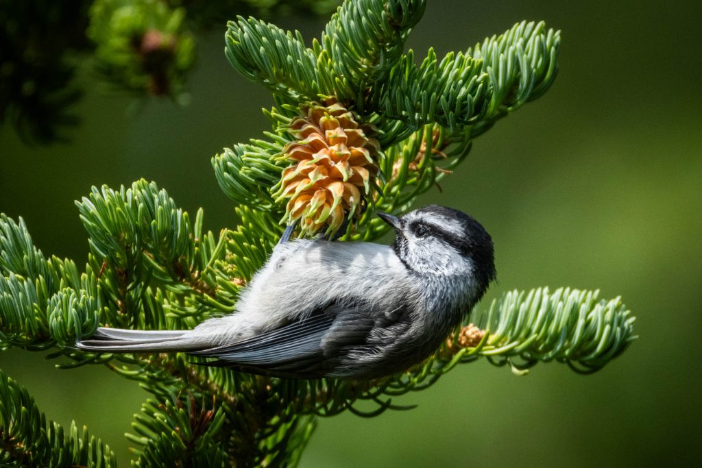
Our route took us up to Bear Lake, where we made camp in the mid-afternoon. Mountain Chickadees picked and poked at every nook for tasty tidbits.
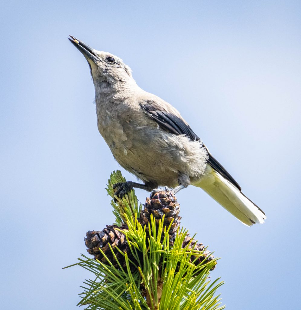
Meanwhile, Clark’s Nutcrackers foraged with the brute force method – hammering mature cones to extract the pine nuts inside. This particular bird was a master in efficiency, and who doesn’t like pine nuts?
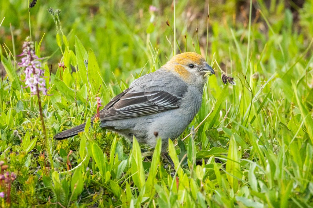
Just below in the alpine tundra around the lakeshore, a pair of Pine Grosbeaks trimmed the ripening fruits and seeds from tiny plants that had bloomed in the spring.
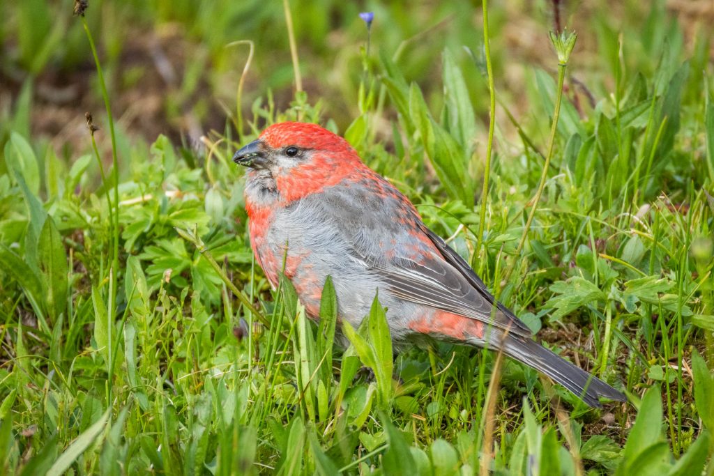
The male of this species is decorated with red, while their mates are a more subdued yellowish tone.
As the evening approached, we had some time to clean-up, rest, and reflect on the mountains.
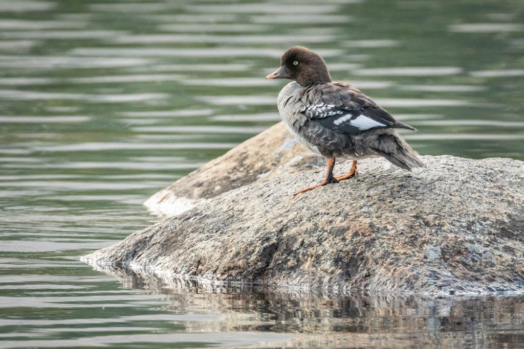
The next morning, a Common Goldeneye methodically preened its feathers on a small rock island. At least I’m fairly confident this was a Common Goldeneye, not the similar Barrow’s Goldeneye.
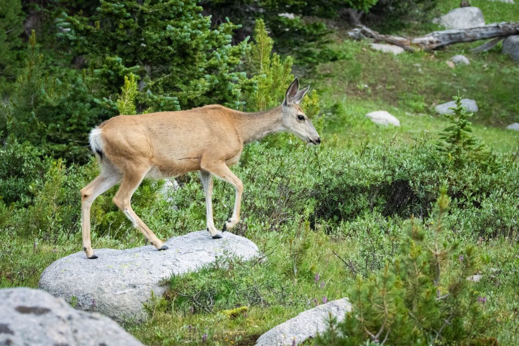
A Mule Deer trotted past our camp, seemingly unconcerned with our morning routines.
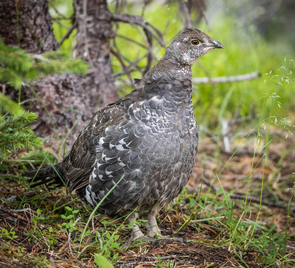
As we headed back up the trail, a Dusky Grouse crossed just ahead. The bird froze to maintain its camouflage as we snuck past.
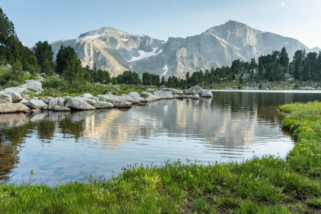
We rose above the trees and enjoyed new views of the surrounding mountains, lit by the morning sun. Below the dominant Lizard Head Peak, our previous night’s camp at Bear Lakes was just emerging from the shadow of the mountains. Our path continued out the right side of this frame.
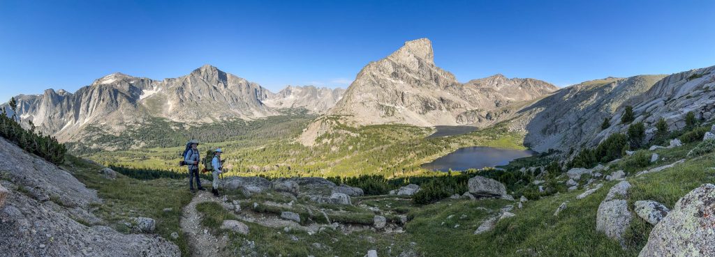
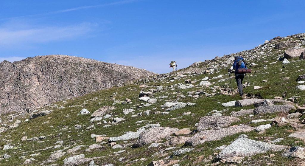
The trail climbed to a windswept alpine plateau. It seemed we were starting to get a bit more acclimated, as the elevation gain came easier. We had also managed to eat at least a few pounds of our loads by this point.
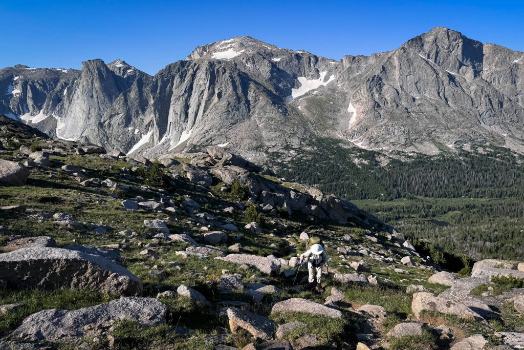
We had unobstructed views in all directions as we rolled along for miles. The wind persisted, but toned-down perhaps one notch from the previous day.
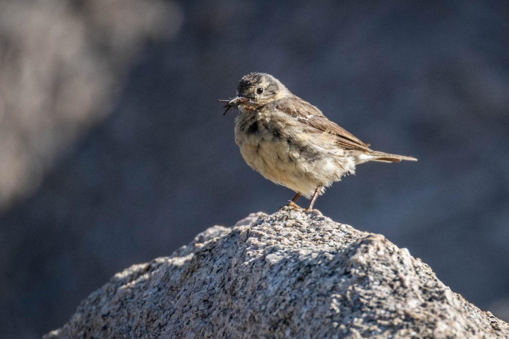
American Pipits are at home in this environment. I see them at home in the winter along the Columbia River. But I have a sense that this place is their true home, and it was nice to repay their visits.
Everywhere we looked toward the horizon was a jumble of granitic cliffs rising above tiny lakes and patches of lingering snow and ice.
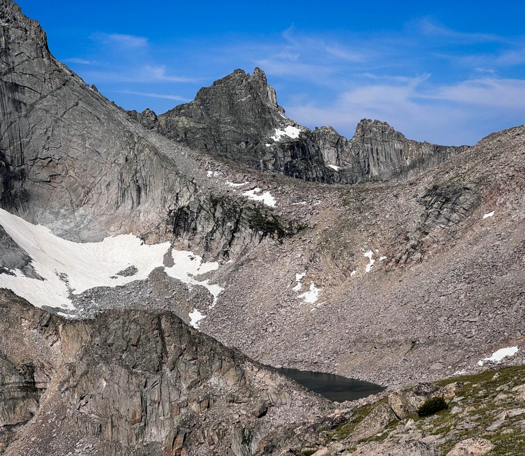
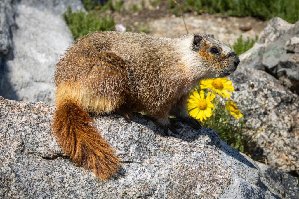
As the trail crested over the shoulder of Cathedral Peak, we took a break at a rock pile. The local residents continued their routines, fattening-up over the short and bountiful summer for a long cold dark winter. This Yellow-belied Marmot looked proud of its lush tail.
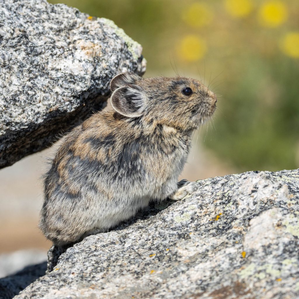
American Pikas darted in and out of the rocks all around us, pausing briefly to “meep” into to the wind.
We continued along, as transient visitors to this enchantingly stark world.
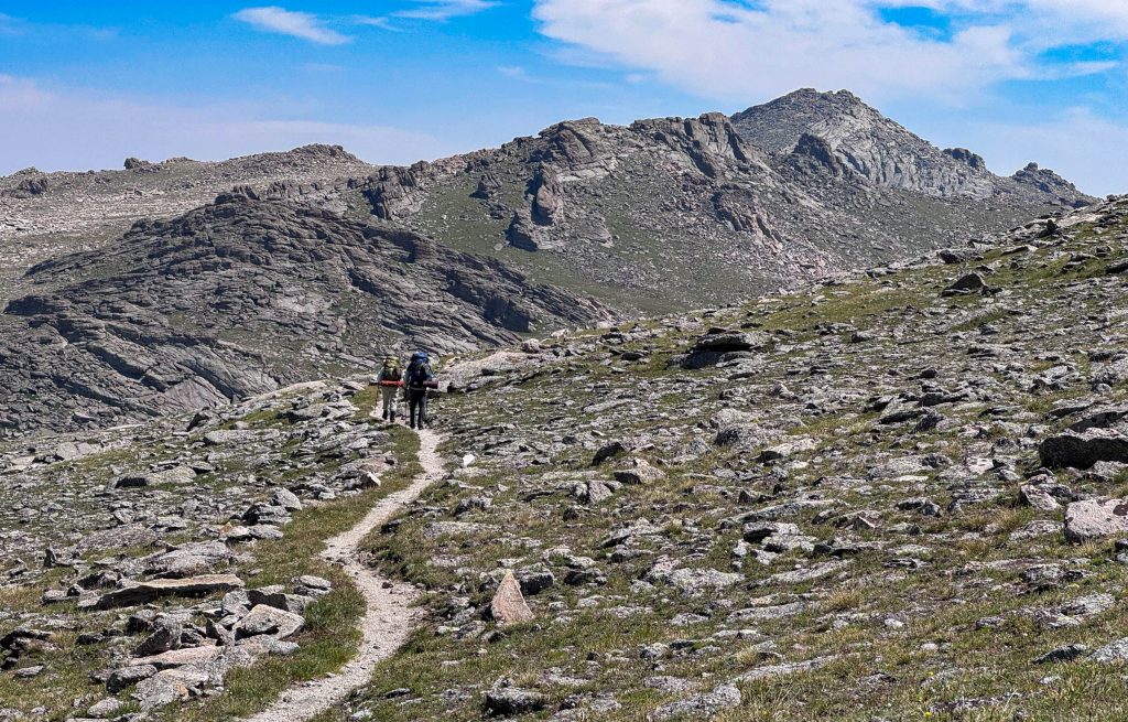
Eventually the trail eased down from the heights, back to the forests, and along pristine lakeshores. We reached the nadir of this stretch in a crossing of the South Fork of the Little Wind River, beneath lofty Payson Peak.
On the way up to our next camp at Washakie Lake, I had another close encounter with a Pine Grosbeak. This one landed so close to me, I had to back-up to get this photo.
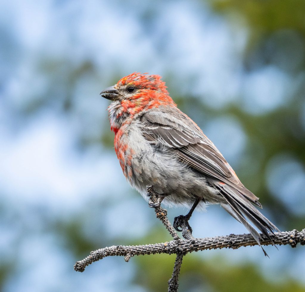
Most of the songbirds this time of year were looking rather haggard. The adult’s flashy breeding plumage was worn and fading. They were molting these old feathers to refresh their look, as they started the annual cycle once again. Added to this mix was a healthy population of first-year juvenile birds, now living independently but not yet sporting adult plumages.