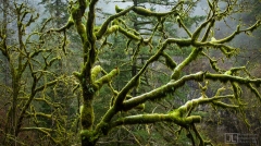
In general, things are sorted with the newest items near the tops of albums and galleries.
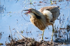
This small wildlife refuge is wedged into the western edge of the Columbia River Gorge, on the Washington side.
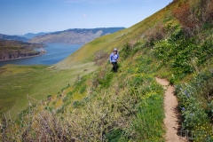
The Lyle Cherry Orchard is located on a bit of land on the Columbia Plateau just east of Lyle, Washington. Years ago, there was a cherry orchard on top of the plateau. But today, all that remains of the orchard are a couple nearly dead cherry trees. The land, and the slopes below down to the highway are owned by the Friends of the Columbia Gorge Land Trust. A trail heads up the slope to the orchard 1000ft above, giving some splendid sweeping views along the way.
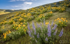
Dalles Mountain Ranch is part of Columbia Hills State Park on the north bank of the Columbia River. This was once a working ranch, but was donated to the state years ago to preserve as a park. In the spring, it's an amazing and rich landscape of meadows and flowers.
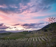
Hood River is at the nexus of fruit, adventure, wind, sun and rain. All year long, there are interesting things to see and do.
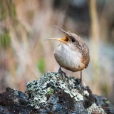
Catherine Creek is located on the north bank of the Columbia River. This area is a thin climate sandwiched between the lush western forests, and high eastern deserts.

The Starvation Creek Trailhead is a bit to the east side of the Columbia River Gorge. There's an impressive waterfall right near the parking area, and trails connecting in all directions.
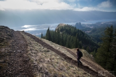
Beacon Rock is a distinctive formation on the north bank of the Columbia River. Hamilton Mountain is essentially one of the points along the northern canyon wall of the Columbia River Gorge. A trail system leads to many points in the area as part of Beacon Rock State Park.
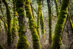
Rowena Crest is a point in the road between Mosier and The Dalles, Oregon. It's a mix of meadows, forests and hills - up to the crest at Tom McCall Point - on the top of cliffs above the Columbia River.
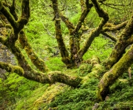
A short trail leads to a powerful compact waterfall, under mossy cliffs, and through misty forests. Wahclella Falls is a great sample of all the Columbia Gorge is about.
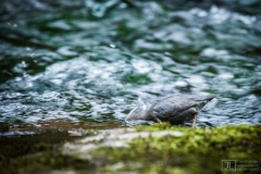
Eagle Creek is likely the most popular trail in the gorge, and the most dramatic. The trail cuts across steep cliffs, and past numerous waterfalls. Sadly, this beautiful place was also ground-zero of a massive fire in 2017, when one careless youth set-off an inferno that burned thousands of acres. Some day, many decades in the future, the forest will recover. Will the future stewards do a better job than we did? I hope so.
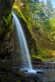
Oneonta Creek forms one of the many side canyons flowing north into the Columbia River. Near the mouth of the canyon, the creek has carved a dramatic slot canyon. Further upstream, trails pass by a number of waterfalls.
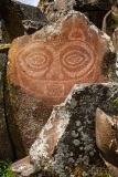
Columbia Hills State Park is located on the Washington side of the Columbia Gorge, north of The Dalles. This park is essentially connected to Dalles Mountain Ranch - at least they're connected in recent years.
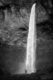
Elowah Falls is a tall dramatic waterfall in the heart of the Columbia River Gorge. the falls is reached by a short hike. Adjacent Upper McCord Creek Falls is slightly upstream from Elowah Falls, which means it requires a bit of a climb to get up above Elowah Falls.
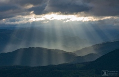
Dog Mountain is a prominent ridge on the north side of the Columbia River. It's one of the more popular hikes in the gorge. The crowds are attracted by a rich display of Balsamroot flowers in May, plus the sweeping views!
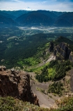
Table Mountain is a dramatic escarpment rising 3,500ft or so above the Columbia River. Some say the top has the best view in the gorge!
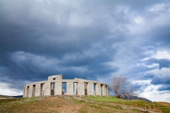
Sam Hill was a larger-than-life character of the Portland, Oregon area in the early 20th century. He established a number of iconic sites in and around the Columbia River Gorge, including the Maryhill area, the Stonehenge monument, and helped push the Columbia River Highway.
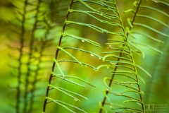
Larch Mountain is the highest point on the south part of the Columbia River Gorge. It's actually an old volcanic caldera. A road leads to the top, trails connect all the way down to the Columbia River.
